GPS tracking for container haulage fleets: 2026 guide

GPS tracking in container haulage is defined as the real-time monitoring of truck and container assets using cellular and satellite telemetry to deliver location, status, and compliance data across the supply chain. When you use GPS tracking in a container haulage fleet, the operational gains extend well beyond knowing where a vehicle is. Platforms such as Samsara, Trackmatic, and TrucksOnTheMap demonstrate that integrating GPS with visibility tools reduces detention and demurrage costs by 20–40% and cuts customer service labour costs by 30–50%. For logistics managers operating at ports like Felixstowe, Tilbury, Southampton, and Liverpool, those figures represent a material shift in profitability.
How to use GPS tracking in a container haulage fleet
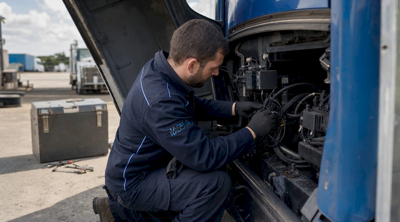
GPS tracking in container haulage operates across two distinct asset classes: the truck and the container itself. Each requires a different hardware approach, and conflating the two is the most common mistake operators make at the outset.
Hardwired telematics units connect directly to a truck’s CAN-bus and power supply, delivering continuous data on location, speed, engine status, and tachograph compliance. Battery-powered container trackers attach to unpowered assets and must manage energy consumption carefully, since the container may sit in a port stack or on a vessel for weeks. Mode-aware tracking devices adjust poll frequency per transport segment, extending battery life from months to years. That distinction matters enormously for multimodal container movements.
Connectivity is the second technical layer. Hybrid cellular and LEO satellite connectivity achieves 95%+ ETA accuracy with data updates every 1–5 minutes. Cellular alone fails in remote port areas and on vessels; LEO satellite fills those gaps without the latency of traditional geostationary systems.
| Device Type | Connectivity | Typical UK Cost | Best Use Case |
|---|---|---|---|
| Hardwired truck telematics | Cellular + CAN-bus | £50–£90/month | Continuous fleet tracking and compliance |
| Battery container tracker | Cellular + LEO satellite | £12–£25/month | Unpowered container asset monitoring |
| Driver mobile app | Cellular | Included in TMS | Subcontractor and fallback visibility |
UK container tracking solutions range from £12–£25 per month for basic units to £50–£90 per month for advanced telematics. That pricing spread reflects the difference between a location ping and a full telematics data feed.
Pro Tip: Set battery-powered container trackers to a low-frequency polling mode (every 4–6 hours) during port dwell and switch to high-frequency mode (every 5 minutes) once the container is on the road. This single configuration change can extend battery life by up to 12 months.
How does GPS data integrate with existing haulage operations?
Integration is where most GPS deployments either generate genuine value or stall as expensive location displays. The goal is to feed telemetry into the systems your operations team already uses: your Transport Management System (TMS), Warehouse Management System (WMS), and ERP platform.
True fleet telematics integrates GPS with CAN-bus, tachograph, and TMS workflows to automate detention alerts and billing opportunities. A location update alone cannot trigger an invoice or flag a compliance breach. The data must flow through an open API into your operational stack to produce those outcomes.
![]()
For UK operators, regulatory integration is non-negotiable. A tracking system that ignores GVMS status and tachograph compliance data is no longer competitive for UK operations. Linking GPS position to Goods Vehicle Movement Service (GVMS) status means your dispatch team sees both where a driver is and whether the customs movement reference is cleared before the vehicle reaches the port gate.
Best practices for GPS data integration in container haulage:
- Connect your telematics platform to your TMS via a documented REST API, not a manual data export.
- Configure geofence alerts at port terminals, customer depots, and inland container depots (ICDs) to trigger automated status updates.
- Map tachograph data feeds alongside GPS position so driver hours compliance is visible in the same dashboard as vehicle location.
- Use predictive ETA calculations from live traffic and historical dwell data to generate automated customer notifications.
- Ensure subcontractor visibility by mandating driver mobile app usage when subcontracted vehicles lack hardwired telematics.
Digital proof-of-delivery and automated gate-out timestamps reduce cash-to-cash billing cycles from 5 days to 1 day. That compression in the billing cycle is a direct cash flow benefit that most operators underestimate when evaluating GPS investment.
What are the steps to deploy a gps-tracked haulage fleet?
A structured deployment prevents the two most common failure modes: devices installed but not integrated, and data collected but never acted upon. Follow this sequence to commission a GPS-tracked container haulage fleet correctly.
Step 1: Fleet assessment and goal definition. Audit your current fleet, including owned trucks, trailers, and container assets. Define specific KPIs: ETA accuracy targets, detention cost reduction goals, and compliance reporting requirements. Without defined targets, you cannot measure ROI.
Step 2: Device selection and procurement. Match device type to asset class using the table above. Procure hardwired units for trucks and battery-powered trackers for containers. Confirm that your chosen platform supports API integration with your existing TMS or ERP.
Step 3: Installation and commissioning. Hardwired units require a qualified auto-electrician for CAN-bus connection. Battery trackers attach magnetically or with adhesive mounts inside the container frame. Commission each device by verifying it appears on the platform dashboard with correct asset identifiers.
Step 4: Connectivity and accuracy testing. Run each asset through a full operational cycle, including port entry, road transit, and depot arrival. Verify that geofence triggers fire correctly and that ETA predictions align with actual arrival times within your target tolerance.
Step 5: Staff training and process alignment. Train dispatch operators on reading the live map, interpreting exception alerts, and escalating detention events. Train finance staff on using automated gate timestamps for billing. IoT tracking solutions require process adjustment, not just hardware installation, to generate operational value.
Step 6: Ongoing performance review. Schedule monthly reviews of KPI data against your baseline. Adjust geofence configurations, alert thresholds, and polling frequencies as operational patterns evolve.
Pro Tip: Avoid setting GPS poll intervals below 1 minute for road-based truck trackers unless your TMS can process high-frequency data. Excessive polling increases data costs and can overwhelm dashboards without improving operational decisions.
What challenges and mistakes occur with GPS tracking in container haulage?
The most persistent challenge in container haulage tracking is battery management for unpowered assets. A container tracker that runs flat inside a port stack provides zero visibility precisely when dwell-time data is most valuable for demurrage disputes.
The shift from reactive to prescriptive logistics creates value by converting telemetry into automated scheduling and proactive exception handling. Operators who treat GPS as a passive location display miss this entirely. The data must trigger decisions, not just inform them after the fact.
Common challenges and how to resolve them:
- Battery depletion: Use mode-aware devices that reduce poll frequency during port dwell. Check battery status weekly via the platform dashboard and replace units proactively before field failure.
- Connectivity gaps: Deploy dual-mode devices (cellular plus LEO satellite) for assets that transit ports, vessels, or remote inland routes. Do not rely on cellular-only trackers for multimodal container movements.
- Data silos: Avoid platforms that do not offer open API access. Closed systems produce location data that cannot feed your TMS, creating manual reconciliation work that erodes the efficiency gains.
- Regulatory blind spots: A GPS position without tachograph or GVMS status is incomplete for UK operations. Integrate regulatory data feeds from day one, not as a later upgrade.
- Process resistance: Dispatch teams accustomed to phone-based check-ins often resist alert-driven workflows. Structured training and a phased rollout reduce friction and improve adoption rates.
The misconception that GPS deployment is purely a hardware exercise causes most failed implementations. Operational ROI stems more from reducing manual work and operational drag than from cargo loss prevention alone. Cargo theft is visible and dramatic; the cost of manual check-in calls, disputed detention invoices, and delayed billing is invisible but larger in aggregate.
Key takeaways
GPS tracking in container haulage delivers measurable ROI only when telemetry data is integrated with TMS, tachograph, and compliance systems, not deployed as a standalone location tool.
| Point | Details |
|---|---|
| Match device to asset class | Use hardwired telematics for trucks and battery-powered trackers for unpowered containers. |
| Integrate with TMS and compliance | Connect GPS data to your TMS, GVMS status, and tachograph feeds via open API from day one. |
| Manage battery proactively | Configure mode-aware polling and monitor battery status weekly to prevent field failure. |
| Measure against defined KPIs | Set detention cost, ETA accuracy, and billing cycle targets before deployment to quantify ROI. |
| Train staff on process change | GPS adoption requires workflow adjustment in dispatch and finance, not just device installation. |
Why GPS integration is the real differentiator in container haulage
I have seen operators invest in GPS hardware, watch the dots move on a map for three months, and then conclude that tracking “doesn’t really change anything.” Every time, the root cause is the same: the data never left the tracking platform. It sat in a dashboard that nobody in dispatch was trained to act on.
The operators who extract genuine value from GPS-tracked container transport treat telemetry as a data feed, not a display. They pipe it into their TMS, configure exception alerts that trigger real decisions, and use automated gate timestamps to compress billing cycles. The 20–40% reduction in detention and demurrage costs cited in the research is not a theoretical ceiling. It is what happens when location data becomes operational instruction.
My honest view is that the ROI argument for GPS in container haulage has shifted. Five years ago, the primary case was cargo security. Today, the primary case is operational drag reduction: fewer manual calls, faster invoicing, automated compliance reporting, and predictive ETAs that reduce port waiting time. Cargo security is a secondary benefit, not the lead one.
The next frontier is AI-based predictive logistics, where historical telemetry trains models to anticipate port congestion, optimise departure windows, and pre-position assets. Operators who have clean, integrated GPS data today will be positioned to use those tools in 2027 and beyond. Operators still running manual check-ins will not.
— Vytautas
How Jhaulage supports gps-tracked container haulage across the UK
Jhaulage operates a fleet of over 40 GPS-tracked trucks and trailers serving Felixstowe, Tilbury, Southampton, and Liverpool. Every movement is monitored in real time, giving you live visibility on your cargo from port gate to final delivery.
If you are evaluating GPS-tracked haulage services in the UK, Jhaulage offers port-to-door container transport with integrated tracking, 24/7 operational support, and compliance-ready telematics. Whether you need full container load shipments, same-day port collections, or dedicated fleet management, Jhaulage’s tracking infrastructure is built to the standards this guide describes. Speak to the team today to discuss your container haulage requirements.
FAQ
What is GPS tracking in container haulage?
GPS tracking in container haulage is the use of cellular and satellite telemetry devices on trucks and containers to provide real-time location, ETA, and compliance data. It covers both powered vehicle assets and unpowered container units across intermodal journeys.
How much does a GPS tracking system cost for UK haulage fleets?
UK container haulage GPS solutions range from £12–£25 per month for basic battery-powered container trackers to £50–£90 per month for advanced hardwired truck telematics. Visibility platforms are typically priced per load on top of device costs.
What data should a GPS tracking system provide beyond location?
A competitive UK tracking system must include tachograph compliance data, GVMS customs status, geofence event timestamps, and predictive ETA calculations. Location alone is insufficient for modern container haulage operations.
How do i extend battery life on container trackers?
Use mode-aware devices that reduce polling frequency during port dwell periods and increase it during active road transit. This configuration can extend battery life from months to years on unpowered container assets.
How does GPS tracking reduce detention and demurrage costs?
Real-time visibility platforms with automated geofence alerts notify operators the moment a container exceeds agreed dwell times, enabling immediate escalation. Integrated GPS and visibility tools reduce detention and demurrage costs by 20–40% across container haulage operations.
Recommended
- How container tracking technology works in 2026 | Jagelo Haulage
- Heavy Container Haulage: A Strategic Reference Guide for UK Logistics 2026 | Jagelo Haulage
- How to track container shipments in real time | Jagelo Haulage
- The Professional Guide to Cost-Effective Container Haulage in 2026 | Jagelo Haulage